Series2 of 3 parts
Tree Canopy Height Estimation
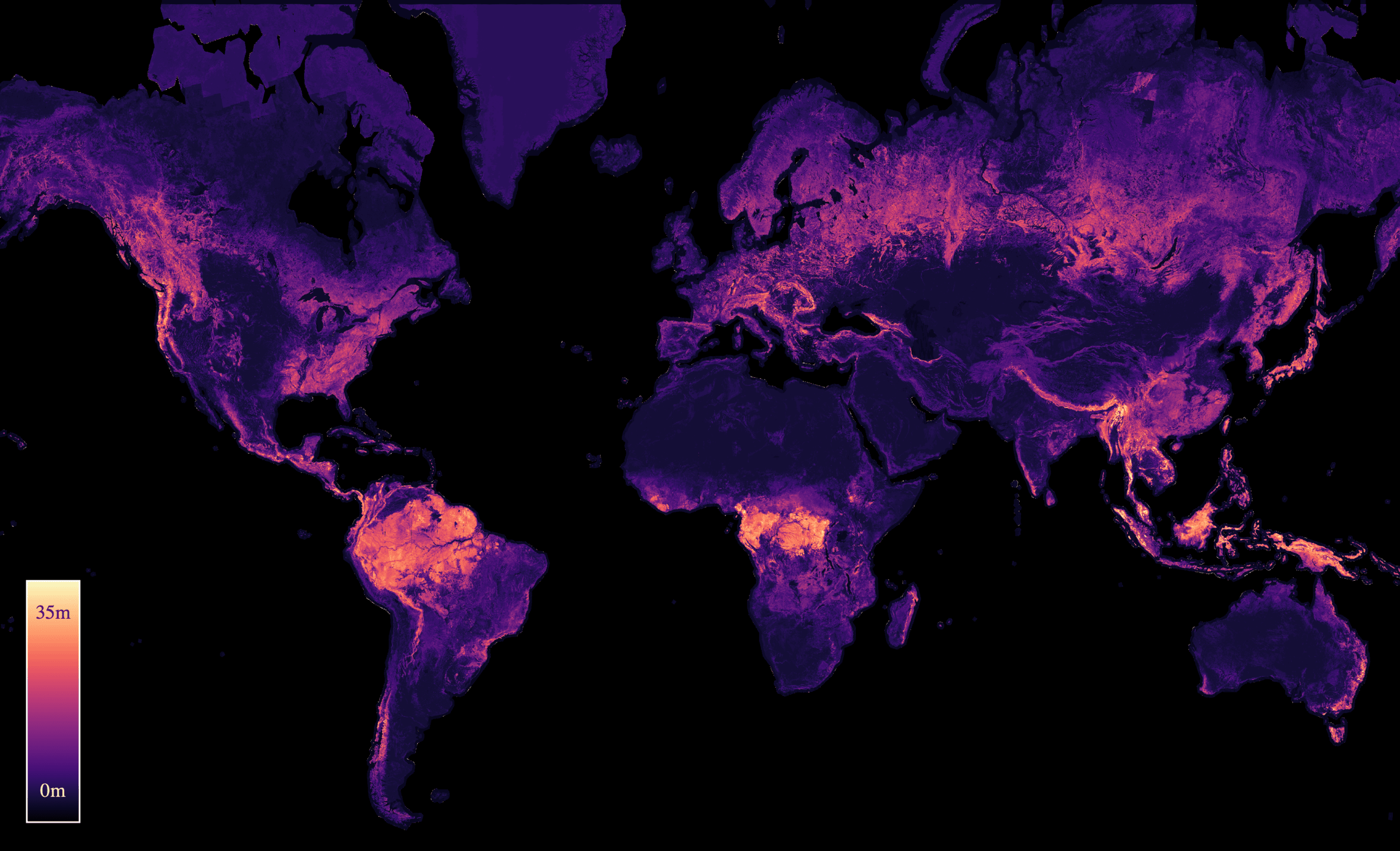
Mapping how tall the world's forests are, and how they change, from satellite imagery and sparse lidar measurements.
Parts
- P1Global-Scale Forest Height EstimationEstimating tree height from satellite data: the problem, its challenges, and how our ICML24 paper overcomes them.
- P2Capturing Temporal Dynamics in Canopy HeightMoving beyond a single-year map to track changes in canopy height over time (ICML25).
- P3ECHOSAT: Canopy Height Over Space and TimesoonGlobal coverage meets temporal dynamics: the first 10m-resolution tree height map spanning seven years.